Govt Identifies 28 Places and Features in Ladakh on Official Survey of India Map
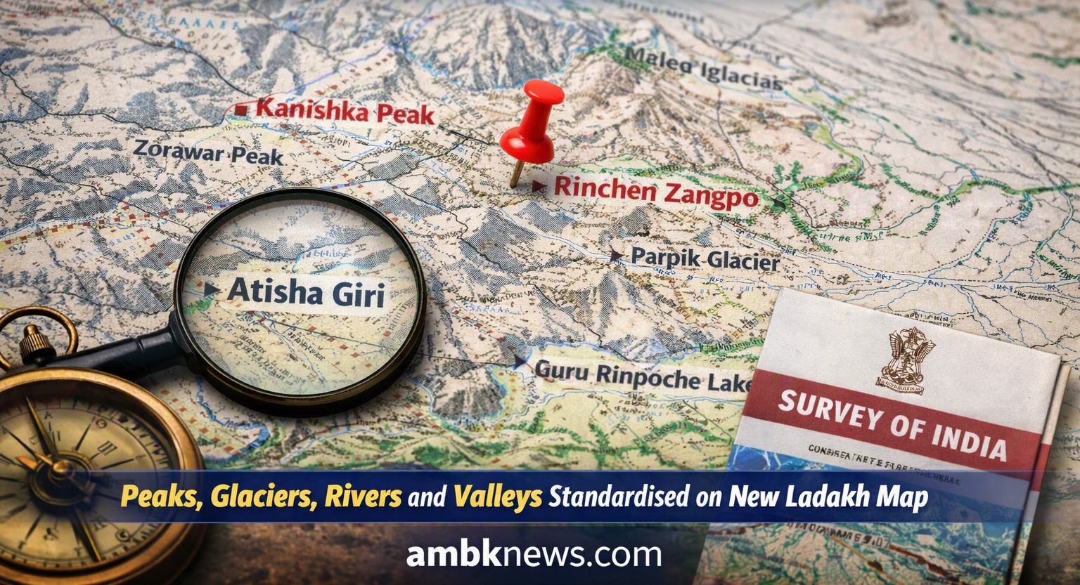
The Government of India, working with the Ladakh Union Territory administration, has officially recognized 28 geographical places and features on the Survey of India map.
According to the Ministry of Science and Technology, this step aims to ensure accurate identification and raise public awareness of Ladakh’s diverse terrain. The list includes peaks, mountains, passes, glaciers, valleys, rivers, lakes, and land areas.
Among the notable names are Atisha Giri, Kanishka Peak, Zorawar Peak, Rinchen Zangpo, Milarepa Kangri, Shiva Ri, and Maheshvara Ri. Glaciers such as Parpik and Skamri, passes like Chapchingal and Shachmirk, and water bodies including Guru Rinpoche Lake, Yangpa River, and Hot Spring have also been standardized.
Officials emphasized that these additions can now be viewed on the Survey of India’s official Ladakh map, providing clarity and consistency for researchers, travelers, and the general public.
This move highlights India’s effort to preserve Ladakh’s cultural and geographical heritage while making its unique landscape more accessible to all.